


0
Views
0
Downloads

0 Likes
Latitude and Longitude Practice
0 Views
0 Downloads
Paste this activity's link or code into your existing LMS (Google Classroom, Canvas, Teams, Schoology, Moodle, etc.).
Students can open and work on the activity right away, with no student login required.
You'll still be able to track student progress and results from your teacher account.
Information
Description
What It Is:
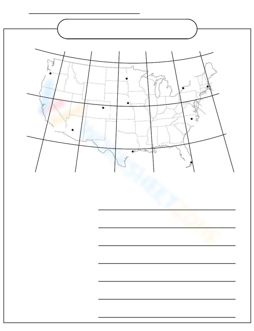
This is a geography worksheet featuring a map of the United States with latitude and longitude lines overlaid. Several dots are placed on the map, likely representing cities or locations. Below the map are several blank lines for writing answers. There is also a space at the top for a name and title.
Grade Level Suitability:
This worksheet is suitable for grades 4-7. The map and latitude/longitude grid suggest it's for students learning basic geography and map reading skills. The writing lines indicate a need for short answer responses.
Why Use It:
This worksheet helps students practice identifying locations on a map using latitude and longitude. It reinforces knowledge of US geography and spatial reasoning. It can also be used to assess understanding of map skills.
How to Use It:
Students can use the worksheet to identify the cities or locations represented by the dots on the map. They can then write the names of the locations on the provided lines below the map. The worksheet could also be used to have students plot specific coordinates on the map.
Target Users:
This worksheet is ideal for elementary and middle school students learning about US geography, map reading, and coordinate systems. It's also useful for teachers looking for a simple activity to reinforce these concepts.