


1 / 3
0
Views
0
Downloads


0.0
0
0 Likes
Lines of Latitude and Longitude
0 Views
0 Downloads
Paste this activity's link or code into your existing LMS (Google Classroom, Canvas, Teams, Schoology, Moodle, etc.).
Students can open and work on the activity right away, with no student login required.
You'll still be able to track student progress and results from your teacher account.
Information
Description
What It Is:
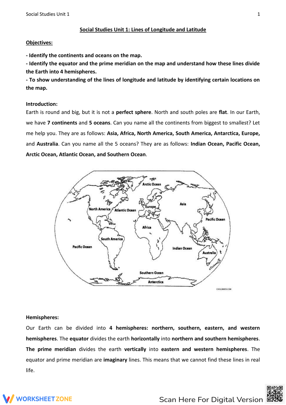
This is a Social Studies worksheet focusing on lines of longitude and latitude. It includes objectives related to identifying continents and oceans on a world map, understanding the equator and prime meridian, and recognizing how these lines divide the Earth into hemispheres. The worksheet also includes an introduction that lists the 7 continents and 5 oceans, and a section explaining the hemispheres. A world map is present for visual reference.
Grade Level Suitability:
This worksheet is suitable for grades 3-5. The content is introductory and focuses on basic geographical concepts. The objectives are clearly stated and the activities are straightforward, making it appropriate for elementary school students learning about world geography.
Why Use It:
This worksheet helps students learn about continents, oceans, the equator, the prime meridian, and hemispheres. It reinforces geographical literacy and spatial reasoning skills. It provides a visual aid (the world map) to help students understand the relative locations of continents and oceans.
How to Use It:
Begin by reviewing the objectives and introduction. Use the provided map to identify the continents and oceans. Discuss the equator and prime meridian, and how they divide the Earth into hemispheres. Students can label the map or answer questions related to the location of different continents and oceans based on the map.
Target Users:
This worksheet is designed for elementary school students, particularly those in grades 3-5, who are learning about world geography and map reading skills. It is also suitable for homeschooling parents or teachers looking for introductory materials on longitude, latitude, continents, and oceans.