


1 / 9
0
Views
0
Downloads


0 Likes
Sea Floor Spreading: Science Worksheet
0 Views
0 Downloads
Paste this activity's link or code into your existing LMS (Google Classroom, Canvas, Teams, Schoology, Moodle, etc.).
Students can open and work on the activity right away, with no student login required.
You'll still be able to track student progress and results from your teacher account.
Information
Description
What It Is:
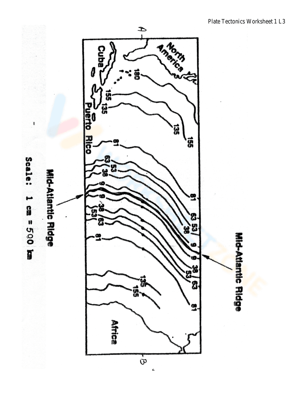
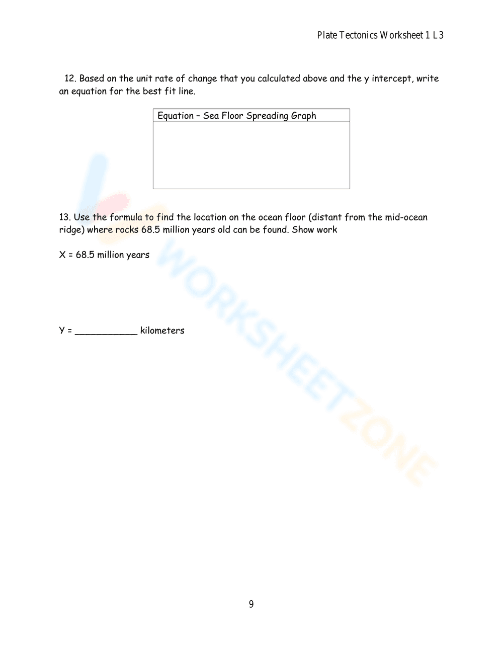
This is a plate tectonics worksheet focusing on sea floor spreading. It includes an introduction explaining continental drift, plate boundaries, and convection currents. The worksheet presents a problem about the speed of sea floor spreading, followed by procedures to analyze a diagram of the North Atlantic ocean floor, trace the Mid-Atlantic Ridge, shade age bands of rocks using a color key (white, red, blue, yellow, green, orange), draw a line representing a path across the Atlantic, measure distances from the mid-ocean ridge, and calculate actual distances in kilometers.
Grade Level Suitability:
This worksheet is suitable for middle school (grades 6-8) and possibly early high school (grade 9). It requires understanding of geological concepts, map reading skills, measurement with a ruler, and basic calculations. The complexity of the concepts and the multi-step procedures make it appropriate for these grade levels.
Why Use It:
This worksheet helps students understand the concept of sea floor spreading and its relationship to plate tectonics. It allows them to visualize the ages of rocks on the ocean floor, practice map reading skills, and apply mathematical skills to calculate distances. The activity reinforces the idea that the Earth's plates are moving and that this movement causes geological events.
How to Use It:
Students should first read the introduction to understand the context. Then, they should follow the procedures step-by-step, starting by tracing the Mid-Atlantic Ridge in red. They need to use the provided color key to shade the age bands of rocks. A ruler is required to draw a line on the map and measure distances. Finally, they should complete the data chart by calculating actual distances in kilometers using the given conversion factor.
Target Users:
This worksheet is designed for middle and high school students studying Earth science, geology, or plate tectonics. It is beneficial for students who need to visualize and understand the process of sea floor spreading and its evidence. Teachers can use it as an in-class activity or homework assignment to reinforce learning.